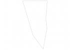
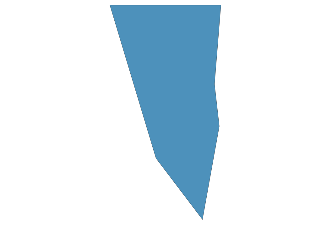
Gibraltar Map - SVG Vector
Interactive Map of Gibraltar
Gibraltar is a Constitutional monarchy founded in 1704 and located in the area of Europe, with a land area of 8 km² and population density of 4213 people per km². Territory of Gibraltar borders Spain. Gross domestic product (GDP) is of about 110600 millions of dollars dollars.
Geography of Gibraltar
Rock of Gibraltar is the highest point in Gibraltar at an altitude of 426 meters, instead the lowest point in the country is Strait of Gibraltar at sea level.
Simple Maps of Gibraltar
Here are the best maps of Gibraltar at high resolution. Below you find printable maps showing Gibraltar in different styles and positions.
Frequently asked questions about Gibraltar
How is Gibraltar divided?
If you are looking for regions or provinces in Gibraltar, here are all the main areas:
- Gibraltar
What are the main points of interest in Gibraltar?
The major tourist attractions in Gibraltar are Rock of Gibraltar, Saint Michael’s Cave, Moorish Castle, St Michael’s Cave, Europa Point, Great Siege Tunnels, Gibraltar Botanic Gardens, Main Street, Gibraltar Cable Car.
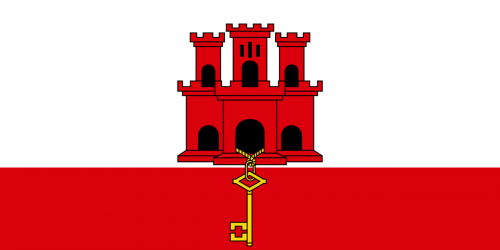
What is the flag of Gibraltar?
What is the capital of Gibraltar?
The main city and capital of Gibraltar is Gibraltar.
What is the currency in Gibraltar?
Official currency of Gibraltar is Pound.
What is the population of Gibraltar?
In Gibraltar there are 33700 people.
What is international phone code in Gibraltar?
Gibraltar telephone code is 350.
Other Country Maps in Europe
Get Full Access
1) Access Map Editor
(create interactive maps)
2) Get 230+ country flags
(100% licensed vectors and images)
3) Get 230+ country maps
(100% licensed vectors and images) Get Full AccessOnly $4/month ($47 for 1 year)
After expiration, you have full licenses of all your downloads forever.