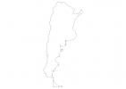
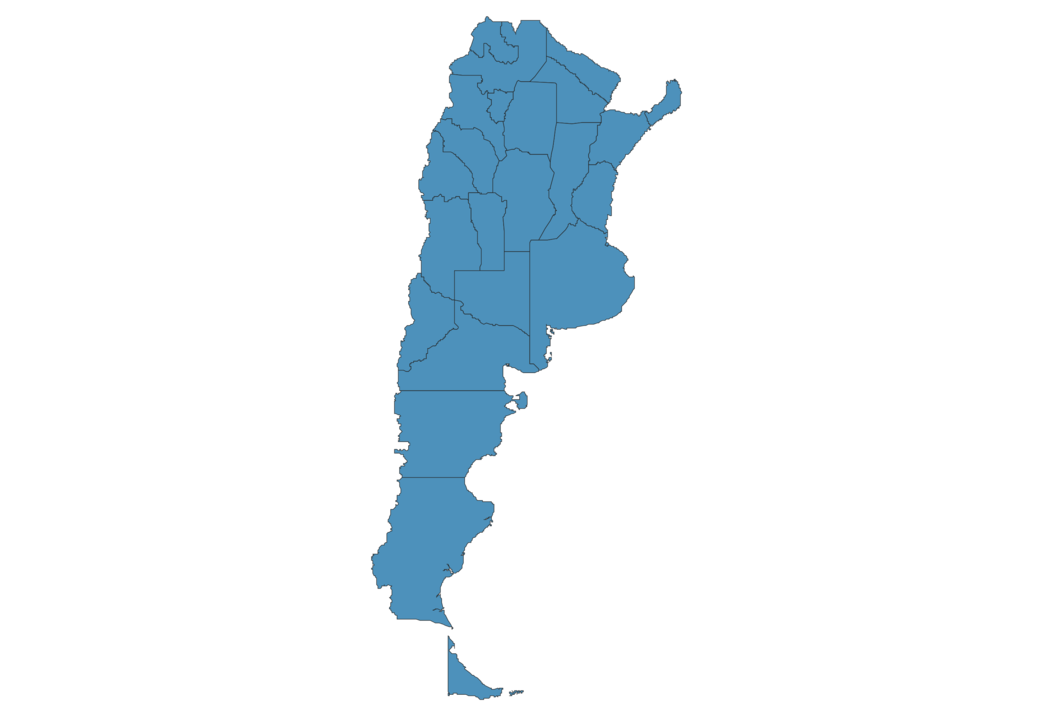
Argentina Map - SVG Vector
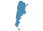
Interactive Map of Argentina
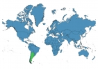
Argentina is a Republic founded in 1810 and located in the area of South America, with a land area of 2766891 km² and population density of 16 people per km². Territory of Argentina borders Bolivia, Brazil, Chile, Paraguay, Uruguay. Gross domestic product (GDP) is of about 485000 millions of dollars dollars.
Geography of Argentina
Aconcagua is the highest point in Argentina at an altitude of 6960 meters, instead the lowest point in the country is Laguna del Carbón at −105 m.
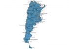
Simple Maps of Argentina
Here are the best maps of Argentina at high resolution. Below you find printable maps showing Argentina in different styles and positions.

Frequently asked questions about Argentina
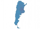
How is Argentina divided?
If you are looking for regions or provinces in Argentina, here are all the main areas:
- Entre Ríos
- Salta
- Jujuy
- Formosa
- Misiones
- Chaco
- Corrientes
- Catamarca
- La Rioja
- San Juan
- Mendoza
- Neuquén
- Chubut
- Río Negro
- Santa Cruz
- Tierra del Fuego
- Buenos Aires
- Ciudad de Buenos Aires
- Santa Fe
- Tucumán
- Santiago del Estero
- San Luis
- La Pampa
- Córdoba
What are the main points of interest in Argentina?
The major tourist attractions in Argentina are Parque Nacional Los Glaciares, Aconcagua, Plaza de Mayo, Recoleta Cemetery, Casa Rosada, Iguazú National Park, Caminito, Devil’s Throat, Teatro Colón.
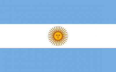
What is the flag of Argentina?
What is the capital of Argentina?
The main city and capital of Argentina is Buenos Aires.
What is the currency in Argentina?
Official currency of Argentina is Peso.
What is the population of Argentina?
In Argentina there are 45234000 people.
What is international phone code in Argentina?
Argentina telephone code is 54.
Other Country Maps in South America
Get Full Access
1) Access Map Editor
(create interactive maps)
2) Get 230+ country flags
(100% licensed vectors and images)
3) Get 230+ country maps
(100% licensed vectors and images) Get Full AccessOnly $4/month ($47 for 1 year)
After expiration, you have full licenses of all your downloads forever.