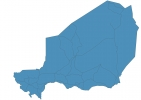
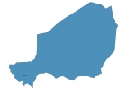
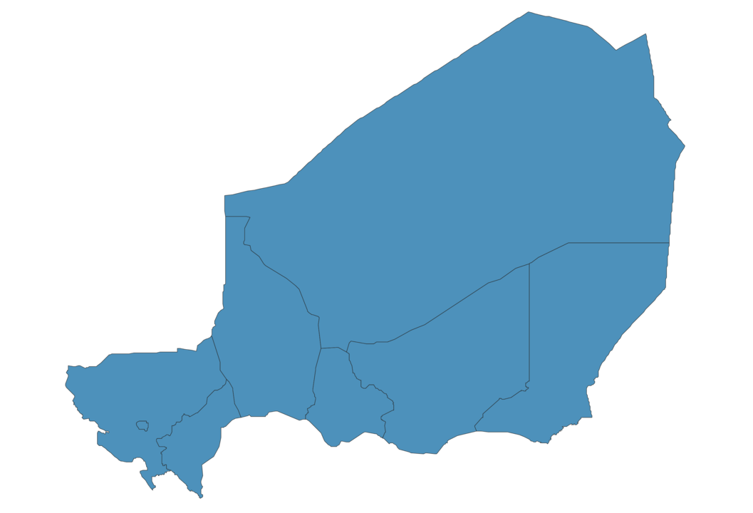
Niger Map - SVG Vector
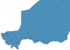
Interactive Map of Niger
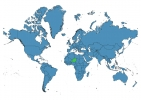
Niger is a Republic founded in 1960 and located in the area of Africa, with a land area of 1267001 km² and population density of 19 people per km². Territory of Niger borders Algeria, Benin, Burkina Faso, Chad, Libya, Mali, Nigeria. Gross domestic product (GDP) is of about 730400 millions of dollars dollars.
Geography of Niger
Mont Idoukal-n-Taghès is the highest point in Niger at an altitude of 2022 meters, instead the lowest point in the country is Niger River at 200 m.
Simple Maps of Niger
Here are the best maps of Niger at high resolution. Below you find printable maps showing Niger in different styles and positions.
Frequently asked questions about Niger
How is Niger divided?
If you are looking for regions or provinces in Niger, here are all the main areas:
- Tahoua
- Dosso
- Diffa
- Maradi
- Zinder
- Tillabéri
- Agadez
- Niamey
What are the main points of interest in Niger?
The major tourist attractions in Niger are Yankari Game Reserve, Lekki Conservation Centre, Victoria Island, Zuma Rock, Olumo Rock, Tarkwa Bay Beach, Nike Art Center, National Museum Lagos, Idanre Hill Peak.
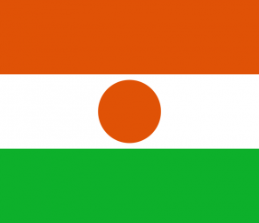
What is the flag of Niger?
What is the capital of Niger?
The main city and capital of Niger is Niamey.
What is the currency in Niger?
Official currency of Niger is Franc.
What is the population of Niger?
In Niger there are 24290500 people.
What is international phone code in Niger?
Niger telephone code is 227.
Other Country Maps in Africa
Get Full Access
1) Access Map Editor
(create interactive maps)
2) Get 230+ country flags
(100% licensed vectors and images)
3) Get 230+ country maps
(100% licensed vectors and images) Get Full AccessOnly $4/month ($47 for 1 year)
After expiration, you have full licenses of all your downloads forever.