Kiribati Map - SVG Vector
Interactive Map of Kiribati
Kiribati is a Republic founded in 1979 and located in the area of Oceania, with a land area of 812 km² and population density of 147 people per km². Territory of Kiribati borders the sea. Gross domestic product (GDP) is of about 173000 millions of dollars dollars.
Geography of Kiribati
Banaba is the highest point in Kiribati at an altitude of 81 meters, instead the lowest point in the country is Pacific Ocean at sea level.
Simple Maps of Kiribati
Here are the best maps of Kiribati at high resolution. Below you find printable maps showing Kiribati in different styles and positions.


Frequently asked questions about Kiribati
How is Kiribati divided?
If you are looking for regions or provinces in Kiribati, here are all the main areas:
- Kiribati
What are the main points of interest in Kiribati?
The major tourist attractions in Kiribati are Ocean Island, Betio Island, Butaritari, Abaiang, Nikumaroro Island, Pacific Remote Islands Marine National Monument, Arorae, Makin Island, Rawaki Island.
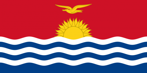
What is the flag of Kiribati?
What is the capital of Kiribati?
The main city and capital of Kiribati is Tarawa.
What is the currency in Kiribati?
Official currency of Kiribati is Dollar.
What is the population of Kiribati?
In Kiribati there are 119700 people.
What is international phone code in Kiribati?
Kiribati telephone code is 686.
Other Country Maps in Oceania
Get Full Access
1) Access Map Editor
(create interactive maps)
2) Get 230+ country flags
(100% licensed vectors and images)
3) Get 230+ country maps
(100% licensed vectors and images) Get Full AccessOnly $4/month ($47 for 1 year)
After expiration, you have full licenses of all your downloads forever.