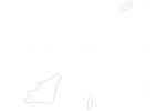
Guernsey Map - SVG Vector
Interactive Map of Guernsey
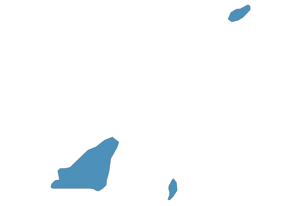
Guernsey is a Monarchy founded in 1204 and located in the area of Europe, with a land area of 79 km² and population density of 848 people per km². Territory of Guernsey borders the sea. Gross domestic product (GDP) is of about 274200 millions of dollars dollars.
Geography of Guernsey
Le Moulin is the highest point in Guernsey at an altitude of 114 meters, instead the lowest point in the country is English Channel at sea level.
Simple Maps of Guernsey
Here are the best maps of Guernsey at high resolution. Below you find printable maps showing Guernsey in different styles and positions.
Frequently asked questions about Guernsey
How is Guernsey divided?
If you are looking for regions or provinces in Guernsey, here are all the main areas:
- Sark
What are the main points of interest in Guernsey?
The major tourist attractions in Guernsey are Victor Hugo House, The Little Chapel, Fermain Lane, Sausmarez Manor, Castle Cornet, La Vallette Underground Military Museum, Fort Grey Maritime Museum, Petit Bot Bay, Vazon Bay.
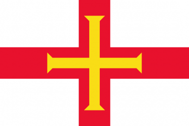
What is the flag of Guernsey?
What is the capital of Guernsey?
The main city and capital of Guernsey is St Peter Port.
What is the currency in Guernsey?
Official currency of Guernsey is Pound.
What is the population of Guernsey?
In Guernsey there are 67000 people.
What is international phone code in Guernsey?
Guernsey telephone code is 44-1481.
Other Country Maps in Europe
Get Full Access
1) Access Map Editor
(create interactive maps)
2) Get 230+ country flags
(100% licensed vectors and images)
3) Get 230+ country maps
(100% licensed vectors and images) Get Full AccessOnly $4/month ($47 for 1 year)
After expiration, you have full licenses of all your downloads forever.