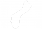
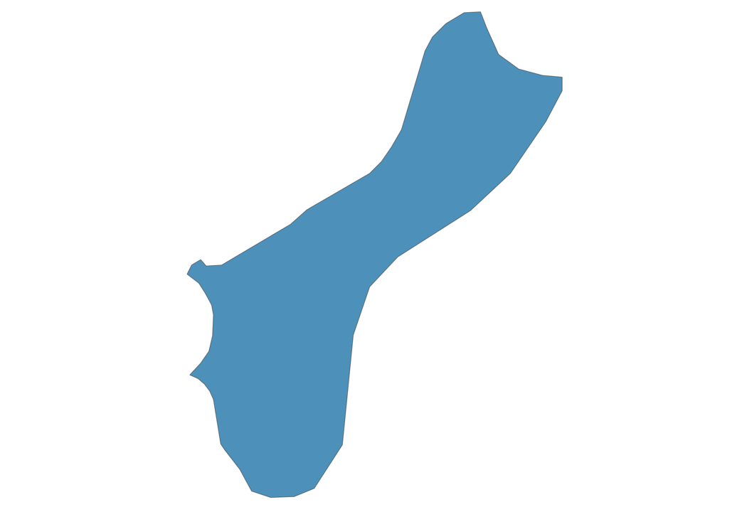
Guam Map - SVG Vector
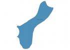
Interactive Map of Guam
Guam is a Representative democracy founded in 1898 and located in the area of Oceania, with a land area of 550 km² and population density of 307 people per km². Territory of Guam borders Pacific ocean. Gross domestic product (GDP) is of about 460000 millions of dollars dollars.
Geography of Guam
Mount Lamlam is the highest point in Guam at an altitude of 406 meters, instead the lowest point in the country is North Pacific Ocean at sea level.
Simple Maps of Guam
Here are the best maps of Guam at high resolution. Below you find printable maps showing Guam in different styles and positions.
Frequently asked questions about Guam
How is Guam divided?
If you are looking for regions or provinces in Guam, here are all the main areas:
- Guam
What are the main points of interest in Guam?
The major tourist attractions in Guam are Puntan Dos Amantes (Two Lover’s Point), UnderWater World, Ypao Beach, Fish Eye Marine Park (Visitor Center), Cocos Island, Tumon Beach, T Galleria By DFS, Ritidian Point, Talofofo Falls.
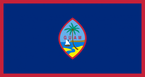
What is the flag of Guam?
What is the capital of Guam?
The main city and capital of Guam is Hagatna.
What is the currency in Guam?
Official currency of Guam is Dollar.
What is the population of Guam?
In Guam there are 169000 people.
What is international phone code in Guam?
Guam telephone code is 1-671.
Other Country Maps in Oceania
Get Full Access
1) Access Map Editor
(create interactive maps)
2) Get 230+ country flags
(100% licensed vectors and images)
3) Get 230+ country maps
(100% licensed vectors and images) Get Full AccessOnly $4/month ($47 for 1 year)
After expiration, you have full licenses of all your downloads forever.