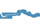
Gambia Map - SVG Vector
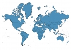
Interactive Map of Gambia
Gambia is a Republic founded in 1965 and located in the area of Africa, with a land area of 11301 km² and population density of 214 people per km². Territory of Gambia borders Senegal. Gross domestic product (GDP) is of about 896000 millions of dollars dollars.
Geography of Gambia
Unnamed point is the highest point in Gambia at an altitude of 64 meters, instead the lowest point in the country is North Atlantic Ocean at sea level.
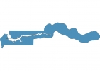
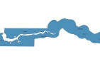
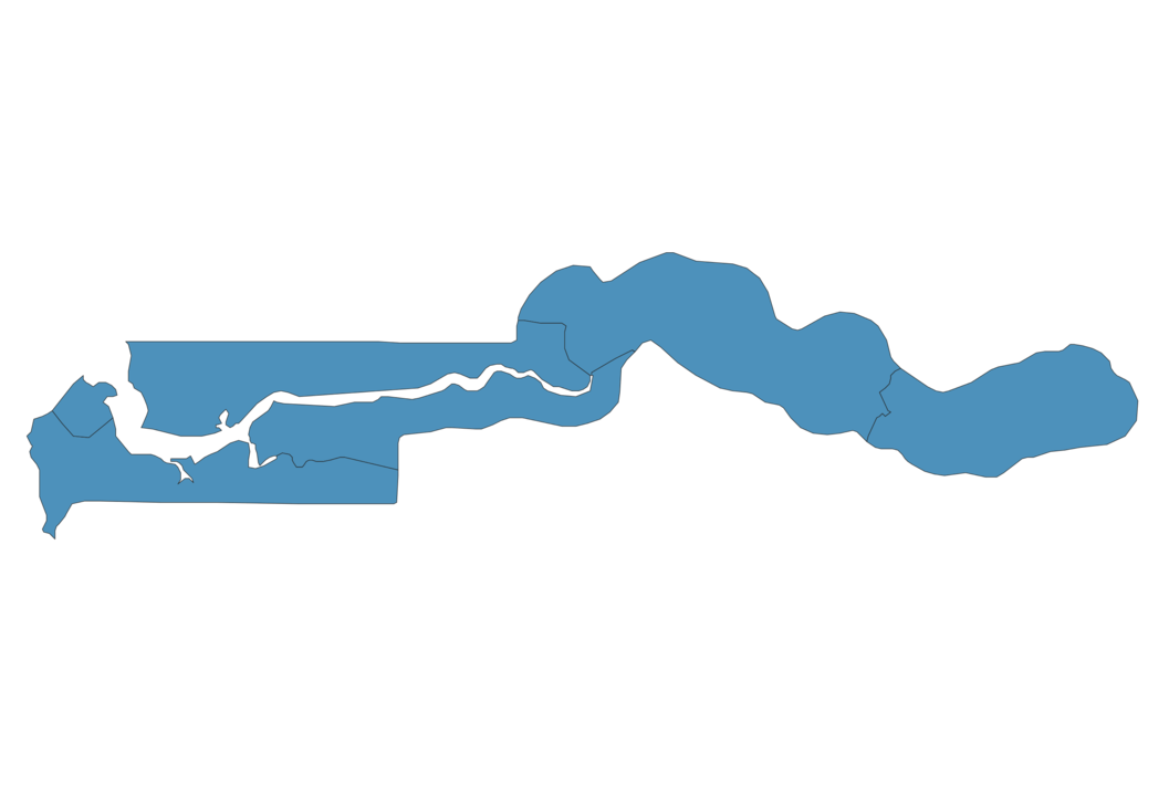
Simple Maps of Gambia
Here are the best maps of Gambia at high resolution. Below you find printable maps showing Gambia in different styles and positions.
Frequently asked questions about Gambia
How is Gambia divided?
If you are looking for regions or provinces in Gambia, here are all the main areas:
- Central River
- North Bank
- Upper River
- Lower River
- West Coast
- Banjul
What are the main points of interest in Gambia?
The major tourist attractions in Gambia are Kunta Kinteh Island, Kachikally Crocodile Pool, Abuko Nature Reserve, Albert Market, Bijilo National Park, Arch 22, Kiang West National Park, River Gambia National Park, Makasutu.
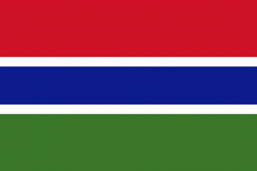
What is the flag of Gambia?
What is the capital of Gambia?
The main city and capital of Gambia is Banjul.
What is the currency in Gambia?
Official currency of Gambia is Dalasi.
What is the population of Gambia?
In Gambia there are 2423100 people.
What is international phone code in Gambia?
Gambia telephone code is 220.
Other Country Maps in Africa
Get Full Access
1) Access Map Editor
(create interactive maps)
2) Get 230+ country flags
(100% licensed vectors and images)
3) Get 230+ country maps
(100% licensed vectors and images) Get Full AccessOnly $4/month ($47 for 1 year)
After expiration, you have full licenses of all your downloads forever.