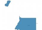
Equatorial Guinea Map - SVG Vector
Interactive Map of Equatorial Guinea
Equatorial Guinea is a Republic founded in 1968 and located in the area of Africa, with a land area of 28052 km² and population density of 48 people per km². Territory of Equatorial Guinea borders Cameroon, Gabon. Gross domestic product (GDP) is of about 170800 millions of dollars dollars.
Geography of Equatorial Guinea
Pico Basile on Bioko is the highest point in Equatorial Guinea at an altitude of 3008 meters, instead the lowest point in the country is North Atlantic Ocean at sea level.
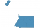
Simple Maps of Equatorial Guinea
Here are the best maps of Equatorial Guinea at high resolution. Below you find printable maps showing Equatorial Guinea in different styles and positions.

Frequently asked questions about Equatorial Guinea
How is Equatorial Guinea divided?
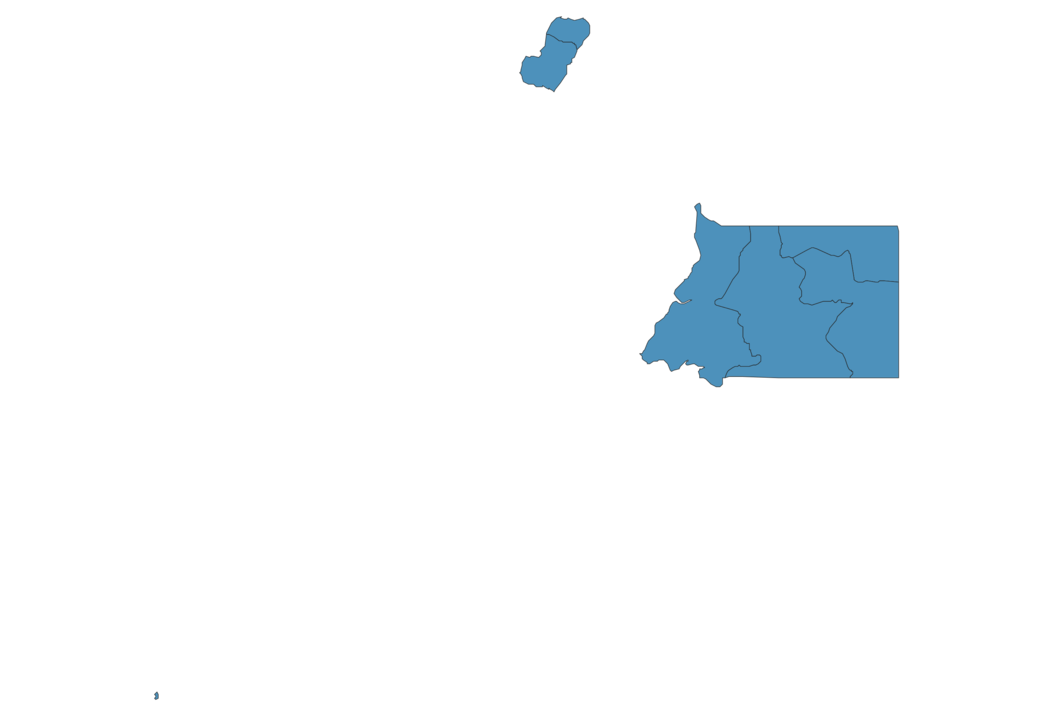
If you are looking for regions or provinces in Equatorial Guinea, here are all the main areas:
- Litoral
- Kié-Ntem
- Centro Sur
- Wele-Nzás
- Annobón
- Bioko Norte
- Bioko Sur
What are the main points of interest in Equatorial Guinea?
The major tourist attractions in Equatorial Guinea are Pico Basilé, Monte Alen National Park, Elobey Grande, Cathedral of Saint-Isabel of Malabo, Little Elobey, Malabo National Park, Cameroon line, Pico Basilé National Park, Spanish Cultural Centre in Malabo.
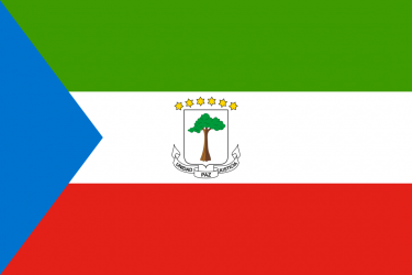
What is the flag of Equatorial Guinea?
What is the capital of Equatorial Guinea?
The main city and capital of Equatorial Guinea is Malabo.
What is the currency in Equatorial Guinea?
Official currency of Equatorial Guinea is Franc.
What is the population of Equatorial Guinea?
In Equatorial Guinea there are 1350000 people.
What is international phone code in Equatorial Guinea?
Equatorial Guinea telephone code is 240.
Other Country Maps in Africa
Get Full Access
1) Access Map Editor
(create interactive maps)
2) Get 230+ country flags
(100% licensed vectors and images)
3) Get 230+ country maps
(100% licensed vectors and images) Get Full AccessOnly $4/month ($47 for 1 year)
After expiration, you have full licenses of all your downloads forever.