British Indian Ocean Territory Map - SVG Vector
Interactive Map of British Indian Ocean Territory
British Indian Ocean Territory is a Constitutional monarchy founded in 1965 and located in the area of Asia, with a land area of 61 km² and population density of 66 people per km². Territory of British Indian Ocean Territory borders Indian ocean. Gross domestic product (GDP) is of about 44 millions of dollars dollars.
Geography of British Indian Ocean Territory
Diego Garcia is the highest point in British Indian Ocean Territory at an altitude of 15 meters, instead the lowest point in the country is Indian Ocean at sea level.
Simple Maps of British Indian Ocean Territory
Here are the best maps of British Indian Ocean Territory at high resolution. Below you find printable maps showing British Indian Ocean Territory in different styles and positions.

Frequently asked questions about British Indian Ocean Territory
How is British Indian Ocean Territory divided?
If you are looking for regions or provinces in British Indian Ocean Territory, here are all the main areas:
- Cocos (Keeling) Islands
- Christmas Island
What are the main points of interest in British Indian Ocean Territory?
The major tourist attractions in British Indian Ocean Territory are Ile Anglaise, Peros Banhos, Danger Island, Great Chagos Bank, Nelsons Island, Sea Cow Island, Eagle Islands, Ile Boddam, Île Fouquet.
What is the flag of British Indian Ocean Territory?
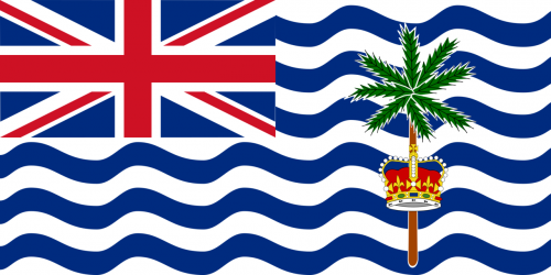
Flag of British Indian Ocean Territory
What is the capital of British Indian Ocean Territory?
The main city and capital of British Indian Ocean Territory is Diego Garcia.
What is the currency in British Indian Ocean Territory?
Official currency of British Indian Ocean Territory is Dollar.
What is the population of British Indian Ocean Territory?
In British Indian Ocean Territory there are 4000 people.
What is international phone code in British Indian Ocean Territory?
British Indian Ocean Territory telephone code is 246.
Other Country Maps in Asia
Get Full Access
1) Access Map Editor
(create interactive maps)
2) Get 230+ country flags
(100% licensed vectors and images)
3) Get 230+ country maps
(100% licensed vectors and images) Get Full AccessOnly $4/month ($47 for 1 year)
After expiration, you have full licenses of all your downloads forever.