Antarctica Map
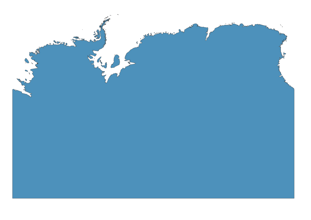
Map of Antarctica

Antarctica is a continent with an area of over 14 million square km for a population of 5000 people.
Main natural resources in Antarctica are krill, fin fish and crab considering the environment made of terrain ice and barren rock.
The highest point is Vinson Massif at 5000 meters above sea level and the lowest point is Bentley Subglacial Trench at 2500 meters below sea level.
What are historical claims to Antarctica?
In the past, many countries claimed territories in Antarctica.
| Country | Claimed area |
|---|---|
| France | Adélie Land |
| United Kingdom | Falkland Islands and British Antarctic Territory. |
| New Zealand | Ross Dependency |
| Norway | Peter I Island and Queen Maud Land |
| Australia | Australian Antarctic Territory |
| Chile | Chilean Antarctic Territory. |
| Argentina | Argentine Antarctica |


