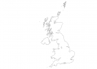
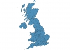
United Kingdom Map - SVG Vector
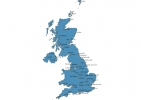
Interactive Map of United Kingdom
United Kingdom is a Constitutional monarchy founded in 1922 and located in the area of Europe, with a land area of 244821 km² and population density of 272 people per km². Territory of United Kingdom borders Ireland. Gross domestic product (GDP) is of about 249000 millions of dollars dollars.
Geography of United Kingdom
Ben Nevis is the highest point in United Kingdom at an altitude of 1345 meters, instead the lowest point in the country is The Fens at −4 m.
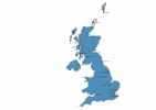
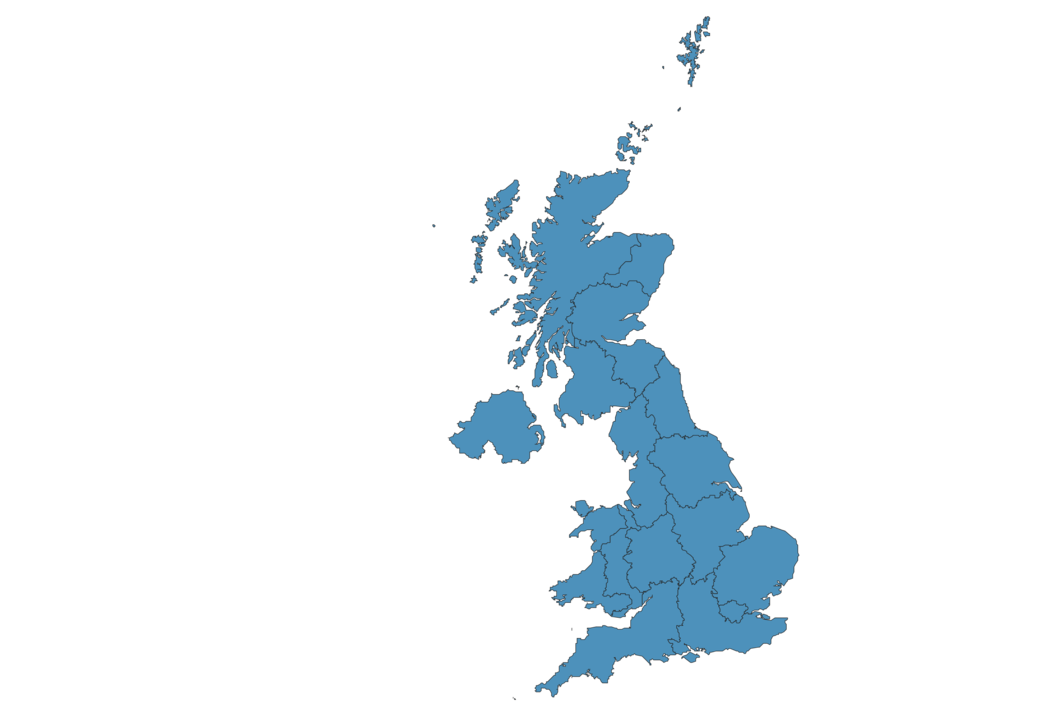
Simple Maps of United Kingdom
Here are the best maps of United Kingdom at high resolution. Below you find printable maps showing United Kingdom in different styles and positions.

Frequently asked questions about United Kingdom
How is United Kingdom divided?
If you are looking for regions or provinces in United Kingdom, here are all the main areas:
- East
- Yorkshire and the Humber
- East
- East Midlands
- East Wales
- Eastern
- Greater London
- Highlands and Islands
- North East
- North Eastern
- North West
- Northern Ireland
- South East
- South West
- South Western
- West Midlands
- West Wales and the Valleys
- Yorkshire and the Humber
What are the main points of interest in United Kingdom?
The major tourist attractions in United Kingdom are The British Museum, lastminute.com London Eye, Tower of London, Big Ben, Buckingham Palace, Stonehenge, Tower Bridge, Edinburgh Castle, Hyde Park.
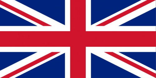
What is the flag of United Kingdom?
What is the capital of United Kingdom?
The main city and capital of United Kingdom is London.
What is the currency in United Kingdom?
Official currency of United Kingdom is Pound.
What is the population of United Kingdom?
In United Kingdom there are 66650000 people.
What is international phone code in United Kingdom?
United Kingdom telephone code is 44.
Other Country Maps in Europe
Get Full Access
1) Access Map Editor
(create interactive maps)
2) Get 230+ country flags
(100% licensed vectors and images)
3) Get 230+ country maps
(100% licensed vectors and images) Get Full AccessOnly $4/month ($47 for 1 year)
After expiration, you have full licenses of all your downloads forever.