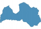
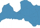
Latvia Map - SVG Vector
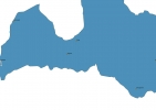
Interactive Map of Latvia
Latvia is a Republic founded in 1918 and located in the area of Europe, with a land area of 64590 km² and population density of 29 people per km². Territory of Latvia borders Belarus, Estonia, Lithuania, Russia. Gross domestic product (GDP) is of about 303800 millions of dollars dollars.
Geography of Latvia
Gaiziņkalns is the highest point in Latvia at an altitude of 312 meters, instead the lowest point in the country is Baltic Sea at sea level.
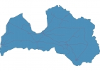
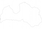
Simple Maps of Latvia
Here are the best maps of Latvia at high resolution. Below you find printable maps showing Latvia in different styles and positions.
Frequently asked questions about Latvia
How is Latvia divided?
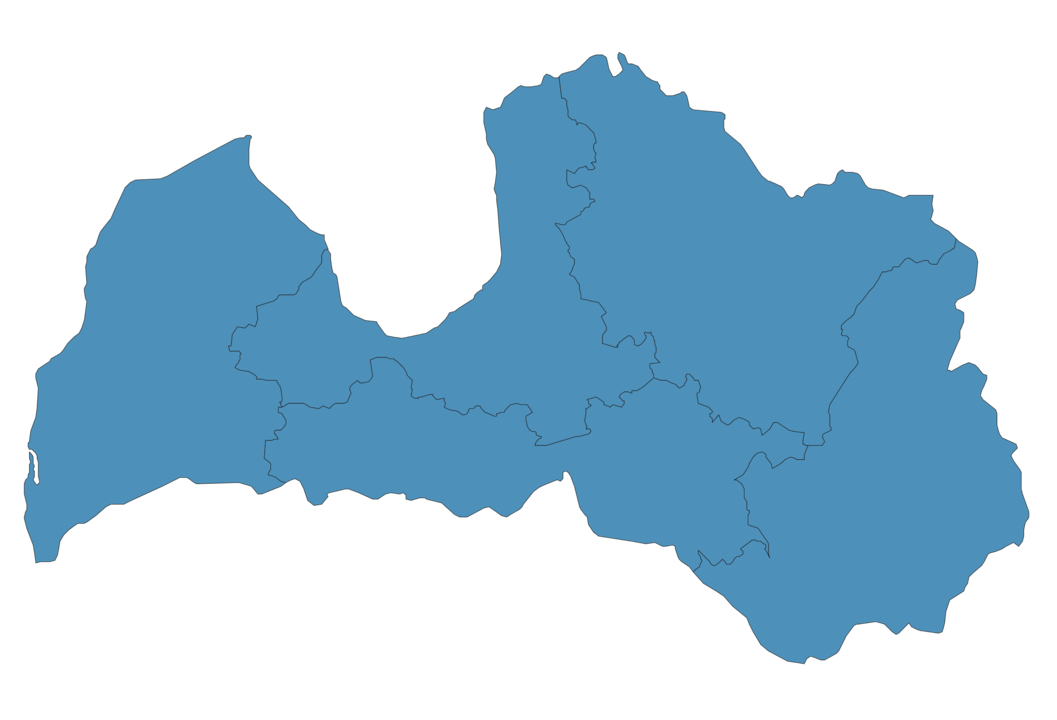
If you are looking for regions or provinces in Latvia, here are all the main areas:
- Kurzeme
- Latgale
- Riga
- Vidzeme
- Zemgale
What are the main points of interest in Latvia?
The major tourist attractions in Latvia are House of the Black Heads, St. Peter’s Church, Rundāle Palace Museum, The Freedom Monument, Riga Central Market, Gauja National Park, Turaida castle, Riga Cathedral, Riga Castle.
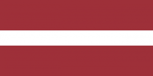
What is the flag of Latvia?
What is the capital of Latvia?
The main city and capital of Latvia is Riga.
What is the currency in Latvia?
Official currency of Latvia is Euro.
What is the population of Latvia?
In Latvia there are 1884400 people.
What is international phone code in Latvia?
Latvia telephone code is 371.
Other Country Maps in Europe
Get Full Access
1) Access Map Editor
(create interactive maps)
2) Get 230+ country flags
(100% licensed vectors and images)
3) Get 230+ country maps
(100% licensed vectors and images) Get Full AccessOnly $4/month ($47 for 1 year)
After expiration, you have full licenses of all your downloads forever.